Leave no traces!
✧ without: cookies, tracking, logging, Google ✧
✧ CO₂-neutral and GDPR-compliant ✧
Leading by example!
No storage of personal data.
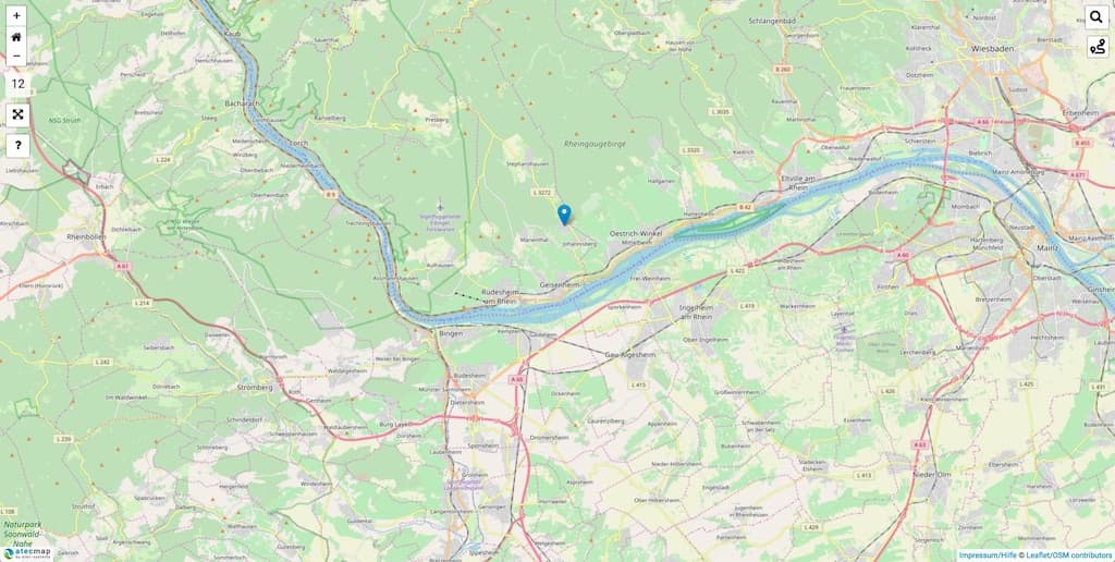
Webmap features:
- Search
- Routing
- Individual markers
- Slim & fast *
- High resolution *
- No statistics
* The atecmap typically loads in less than a second. Nevertheless it offers more details at the same zoom level compared to Google Maps®.
map API · Dokumentation
Without: cookies, tracking, logging, Google
We follow the principle of data economy. Therefore we do not collect any data that is not absolutely necessary for the operation of our platform*. We do not pass on user data.
GDPR-compliant
We describe our webmap as GDPR-compliant, because we do not use cookies and do not record the activities or IP addresses of users-**
CO₂-neutral
We operate our servers in Germany exclusively with CO₂-neutral energy from regenerative energy sources and are directly connected to the DE-CIX internet hub in Frankfurt via fiber optics. There is no better way.
Slim & fast
If the atecmap gets embedded into a site, it will automatically load as a super slim basic version (without GPS/GPX features). This will ensure an almost instantaneous loading time (only about 400 milliseconds).
* Even if we do not record the activities, the browser will always transmit the IP address and browser identification to us. This is necessary for the connection and for data being returned. However, this browser data is neither evaluated nor stored by us in any other way.
** Nevertheless, we recommend mentioning the cooperation with us as in the privacy policy.
Annual license
€ 25 *Valid for one year from date of purchase.
"Lifetime" License
€ 69 *Valid for life as long as the atecmap exists.

* Price including VAT and per domain.
The management of the markers is very easy with our online-oditor. Individual colours, texts and links can be assigned to the markers.
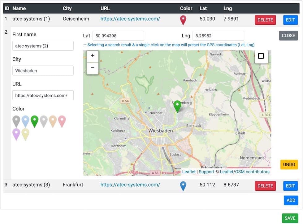
In addition, atecmap supports the mass import of geo positions (CSV import) as well as the outlining of areas (polygon).*
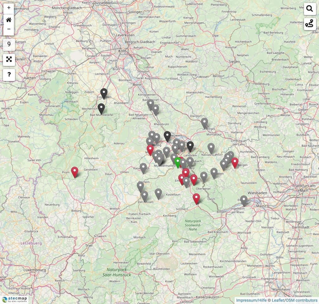
Individually colored markers

Mass import & outlining of areas
* These functions are not available in the online editor and require our help.
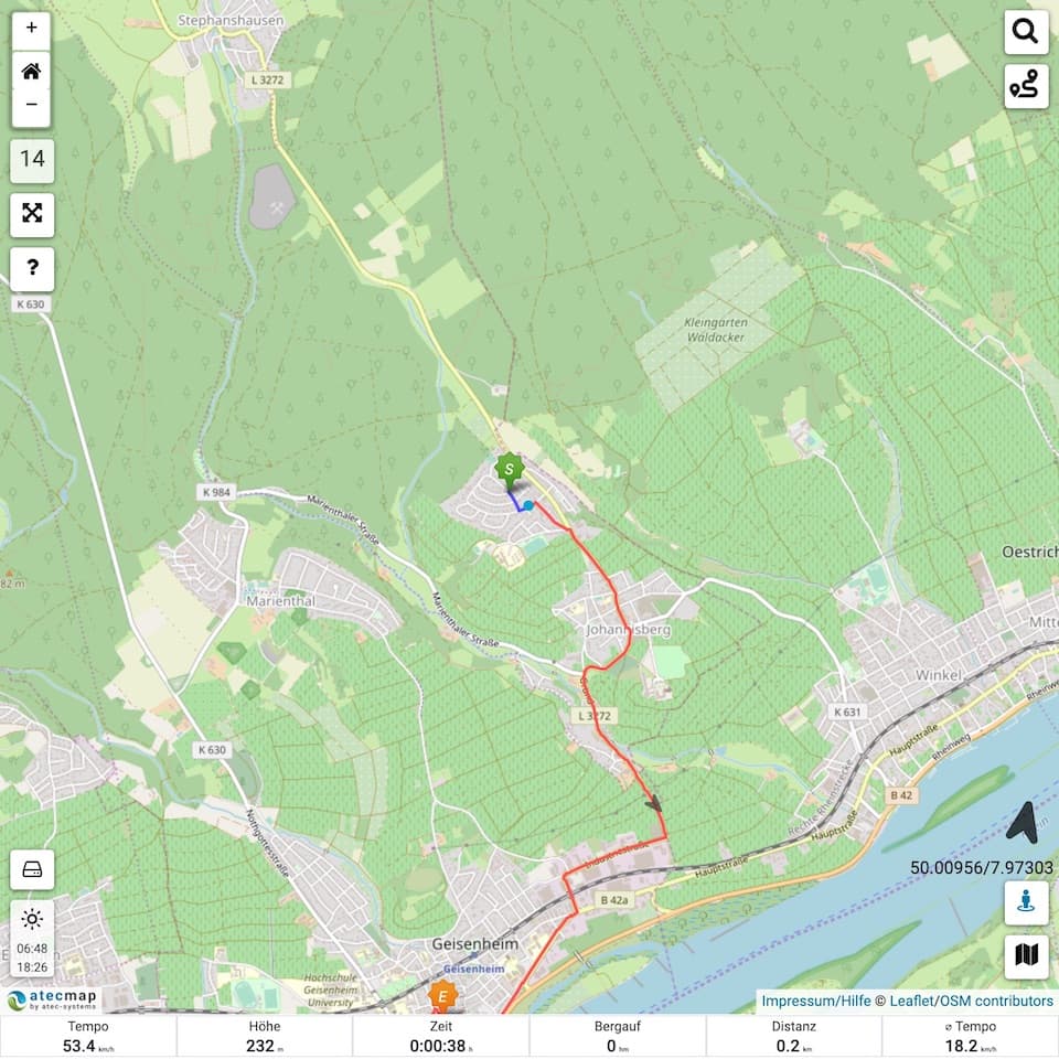
The atecmap has extensive GPS/GPX functions as known from navigation devices. GPX tracks are automatically cached to make operation even more convenient.
An intelligent memory mechanism also remembers the map sections that have already been loaded, so that they do not have to be loaded again. For offline use, the map sections required for a specific track can be preloaded.
- GPX-track upload
- Track display
- Elevation profile
- Statistics
- Live monitoring
- Real-time data
- Route display
- GPX-download
* All functions run locally in the browser, i.e. without connection to our server. There is no data collection on our part.
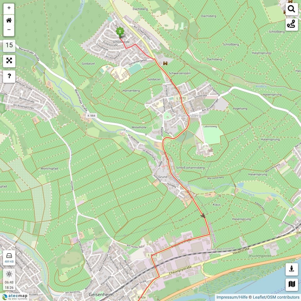
GPX-track display
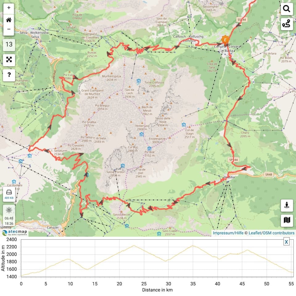
GPX-track with elevation profile
GPX-track with mit live monitoring
Insert this code at the place in your HTML document where you want the map to appear.
Please replace "LICENSE-KEY" with your own license key.
<iframe width="100%" height="100%" frameborder="0" src="https://atecmap.com?key=LICENSE-KEY" sandbox="allow-scripts allow-popups"></iframe>
Simple atecmap integration for WordPress.
In case you allow atecmap access to your location, but your browser fails to support location service, atecmap uses the ipinfo.io to determine your location via your IP address.